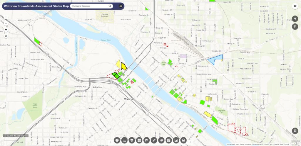
The City and its environmental consultant, HR Green Inc., partnered to construct a geographic information system (GIS)-based webportal to further enhance project transparency. An interactive map with querying features allows citizens to view properties selected for assessment, monitor progress, and examine site observation notes, photos, and documents associated with investigated properties. The website also links users to completed reports (e.g. Phase I and II ESAs). Click the “Interactive Brownfields Map” link on our homepage or simply visit https://hrggis.maps.arcgis.com/apps/webappviewer/index.html?id=1d6825c4b18d45f4ab231da83467a0d0. Check back frequently for updates!